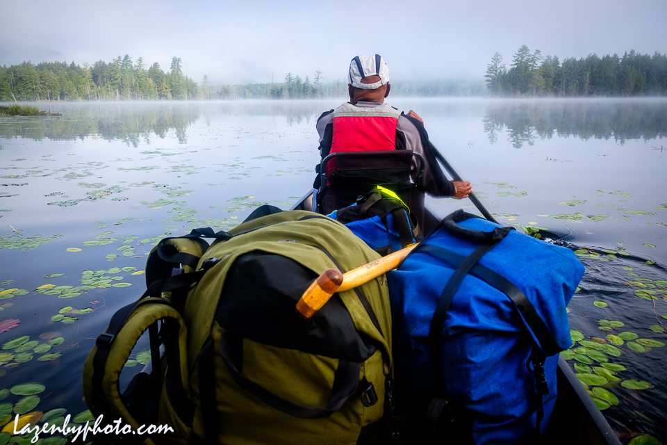
Forked Lake, including the old telephone booth where you can make emergency calls on a landline and the row-it-yourself guideboat at the Adirondack Experience in Blue Mountain Lake. Water’s low, rocks are out, but it’s still another world.


Forked Lake, including the old telephone booth where you can make emergency calls on a landline and the row-it-yourself guideboat at the Adirondack Experience in Blue Mountain Lake. Water’s low, rocks are out, but it’s still another world.


The Adirondacks: so near, and yet—when you’re out there—so far from anywhere else. Loons on call; Hornbeck boats on parade; frogs on lily pads. Time slightly on hold.
Click “Continue reading” for the gallery link.
Click here for a gallery.

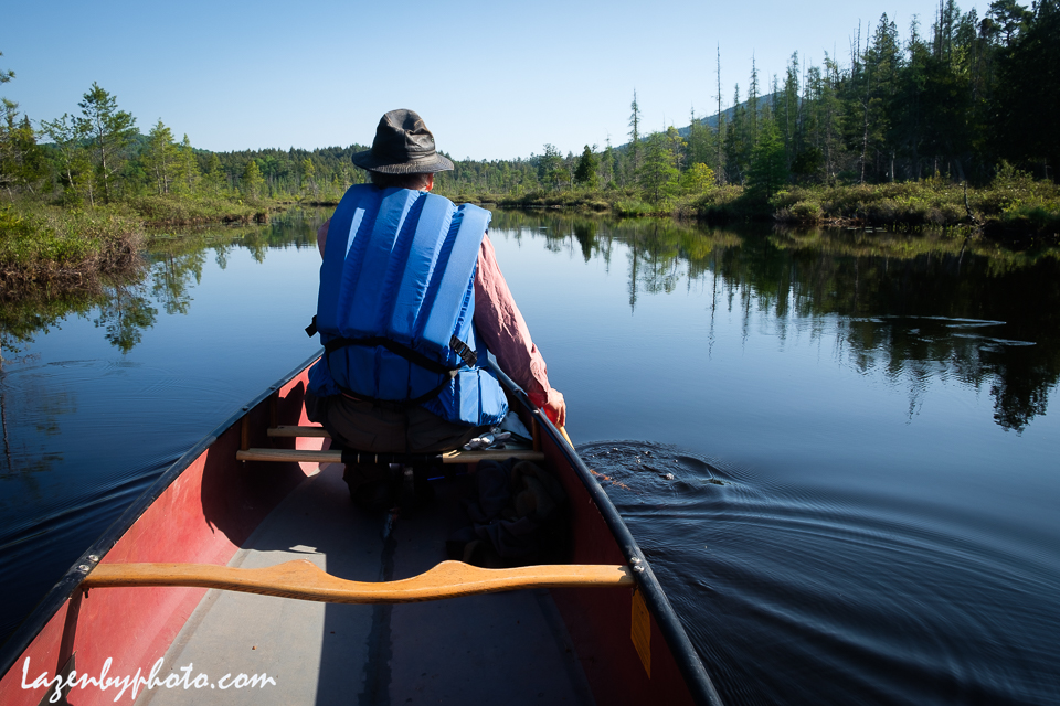
A few days last week on Middle Saranac Lake in New York State’s Adirondack Mountains. And the spring black flies weren’t too bad! Click on the headline or photo for more photos; even more on Instagram @lazenbyphoto.


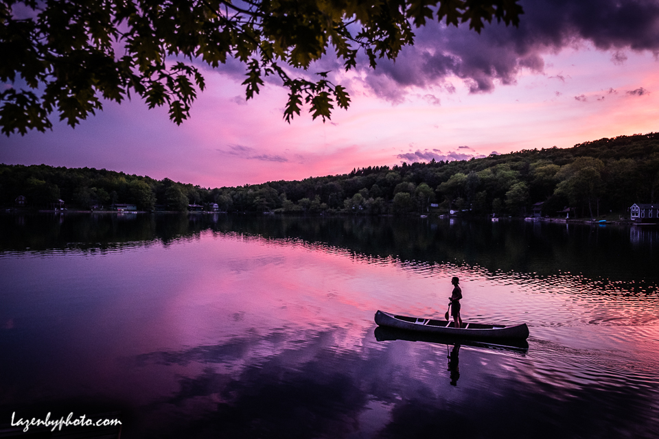
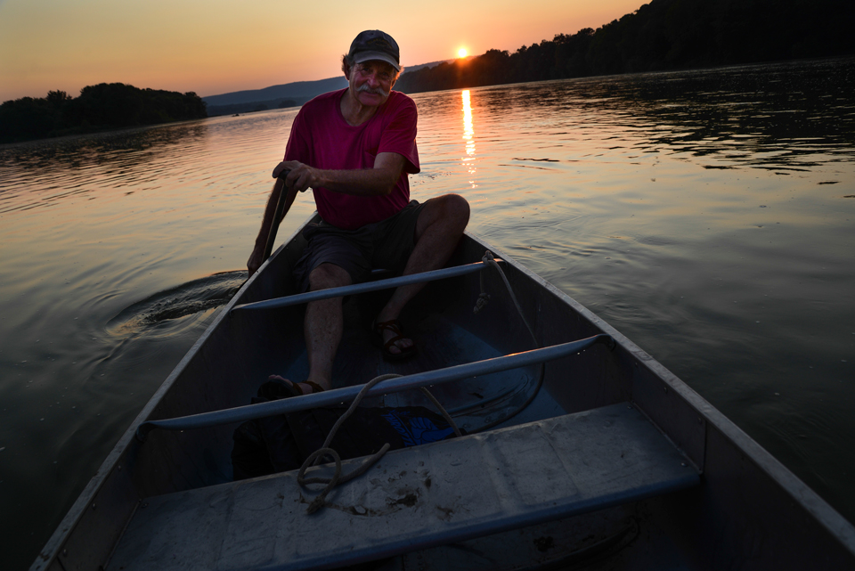
I was relaxing next to a little lake near Cooperstown, NY, at dusk when these colors happened and this guy paddled by. It’s a lake that is relatively high in elevation and you feel as though the sky and water are very close to each other.

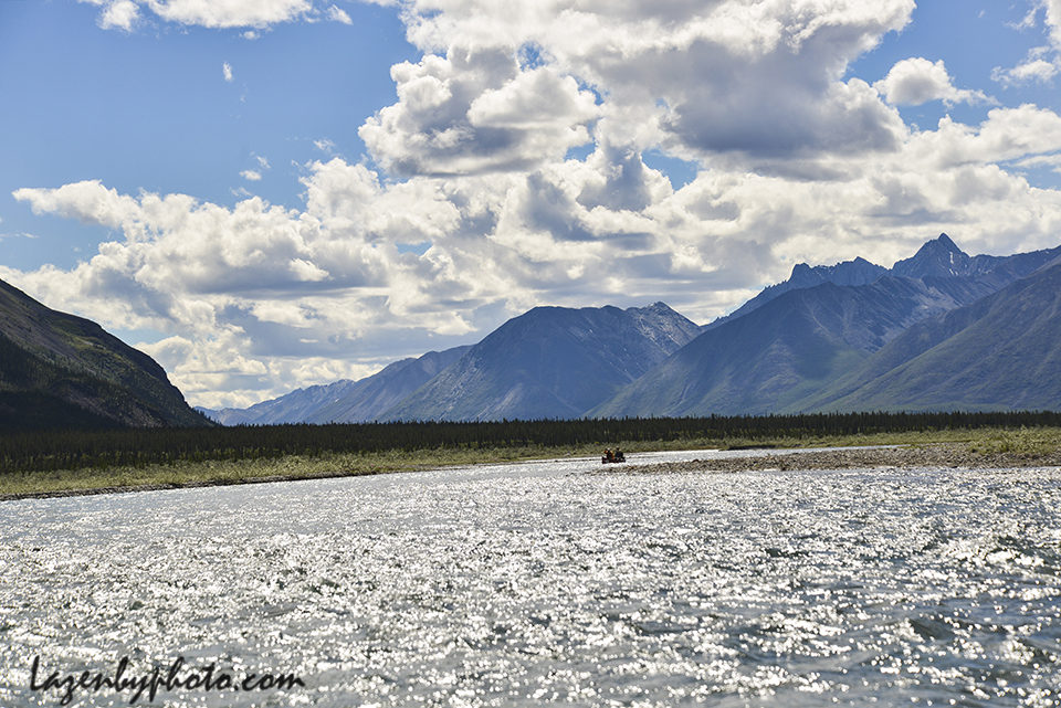
The Wind River is a crystal-clear, aquamarine stream that flows fast and cold out of the Wernecke Mountains into the Peel River in Canada’s Yukon Territory. Some friends and I paddled more than 100 miles of it — plus a section of the Peel — in early July. It is remote, untouched, stunning and at the heart of a struggle over whether these wild lands will remain wild or be opened for development (primarily mining), a move favored by the current territorial government and opposed by First Nations and conservation groups. We saw caribou, eagles, grayling, and warblers; the tracks of bear, moose and wolf in the mud along the gravel bars, and the most beautiful riverine landscape I have ever experienced. At a latitude of between 64 and 65 degrees, the sun shone virtually 24 hours. No headlamps needed. Click here for a gallery of images from the trip. (This is longer than usual, but you can speed it up by clicking on the right arrow.) Click here and here for information about the river and protecting it.


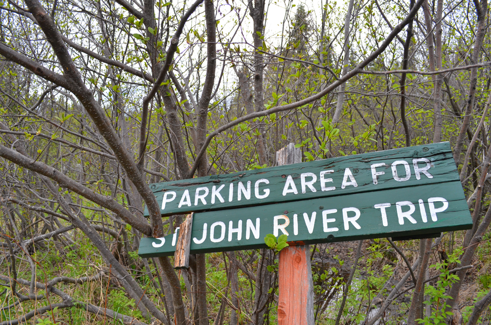
The St. John River is just about as far north as you can go in Maine, paralleling the Quebec border where the river begins in the ponds, streams and bogs of the North Woods. It runs 418 miles from the middle of nowhere, north and then east and south to the Bay of Fundy in New Brunswick. The St. John is surrounded by land owned by paper and lumber companies. You pay their fees ($24 per day per person) to run it and you spend hours rattling over their dirt roads (made for logging trucks) to get there. But the Maine branch of The Nature Conservancy has bought 40 miles of shoreline, there are no dams on the northern reaches, and the river feels wild and remote like few, if any, others in the Lower 48. For mile after mile, tinged like tea from the tannic acid of the woods runoff, the river turns past shores lined with spruce, fir, pine, and poplars and birches in their lightest spring greens. It is narrow and shallow at the top but grows wider and deeper with every branch and brook that enters. It’s northern river and shore country, but for the East, it’s also big sky country: big expanses of weather stretching out over the trees and water. It has to be run during spring runoff because, barring storms, it’s too low in the summer.
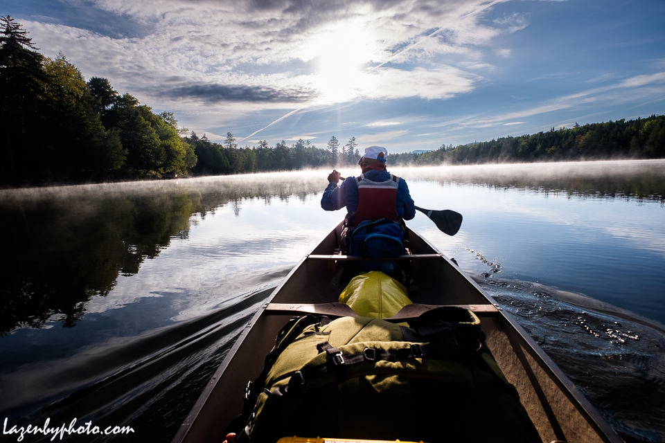
Paddling down the river last week we saw moose every day, including a calf so small it must have been only a few days old, and a big moose splashing across the river in front of us, high-stepping from shore to shore. Unfortunately, it also rained every day, culminating in an all-night rain, followed by an all-day rain, headwinds, rising water and plunging temperatures. When we pulled off, a day early, record river heights for the date, snow and temperatures in the 30s followed. We were happy to head for the Northern Door Motel in Fort Kent (La Porte du Nord, as the sign says) and burgers at the Swamp Buck. I should have more pictures of the rain and foul weather and the big white- and brown-topped waves in the Big Black Rapid, but — except for the one of Lisa and Andrew and their border collies Rigby and Nitro, below — I kept the camera in its waterproof box when the weather turned bad and stayed bad. Need to get a waterproof housing. And I need to go to Maine more often.
A classic article on the river is John McPhee’s 1976 New Yorker story, “The Keel of Lake Dickey”, which describes a trip down the river and concerns that the proposed Dickey-Lincoln dam would flood much of it. The dam was never built.
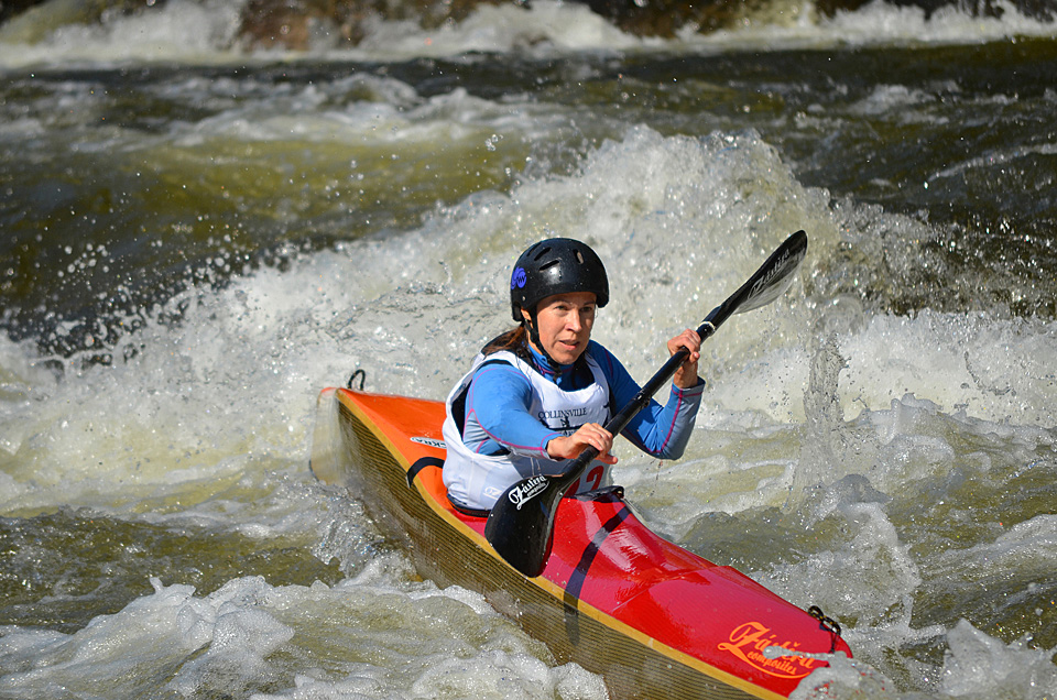
On a beautiful late summer afternoon, the United States of America Canoe and Kayak 2012 Wildwater Team Trials began today on the Deerfield River in northern Massachusetts. Fastest kayaks down the 2-mile course in men’s and women’s classes win. Two sprint races will be held over the next two days to determine team members for the 2013 world championships in Solkan, Slovenia. These photos were taken in the Zoar Gap section of the river, the toughest part of the course. It’s mainly a Massachusetts river, but, hey, a lot of the water comes from hydropower impoundments in Vermont.