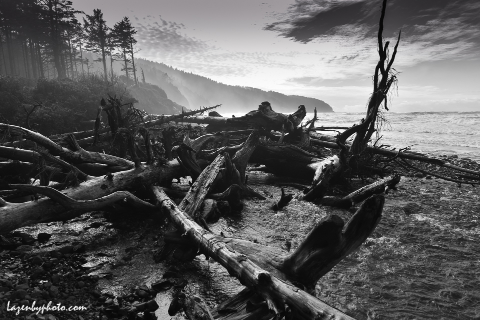
When it’s November on the Oregon coast and gales are ripping in from the southwest, almost everything turns black and white. These are from Cape Lookout State Park, near Tillamook

Category Archives: Oregon
Painted Hills #2
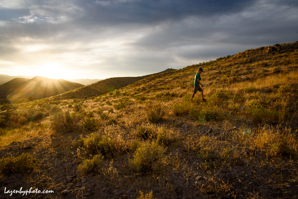
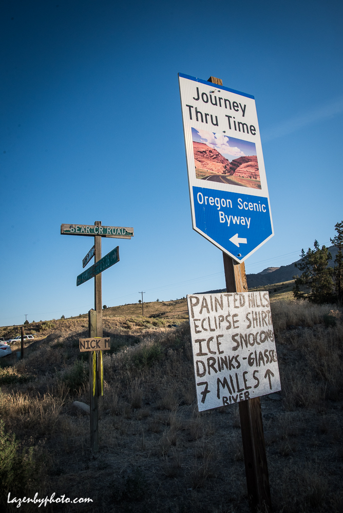
Even without the spectacle of a total solar eclipse, the Painted Hills of Oregon’s John Day Fossil Beds National Monument are a striking piece of high desert. Scroll down for photos of the total solar […]
Painted Hills: Eclipse 2017
Finally getting back to the eclipse, August 21: On the Path of Totality, total solar eclipse, Painted Hills, John Day Fossil Beds National Monument, Oregon. The top two photos are when the eclipse was total, […]
Bad Day at Crater Lake
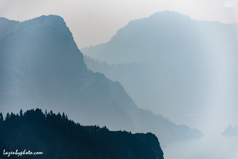
Ash from forest fires was falling on Bend, OR, a few weeks ago and smoke from more fires shrouded Crater Lake National Park, an hour and half’s drive south. The usual view of Crater Lake […]
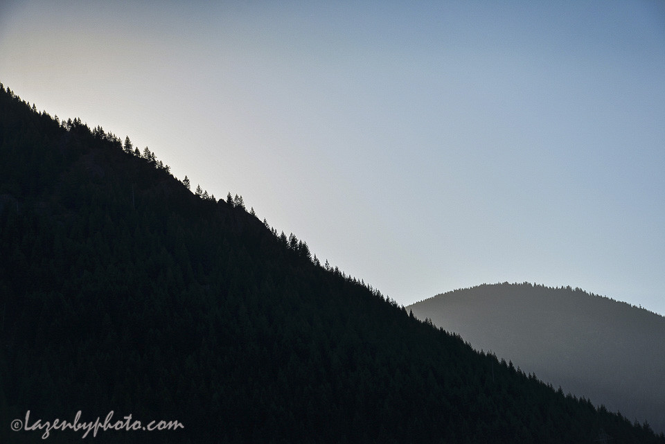
Black and Blue
Mountains above the North Santiam River, late afternoon light, Cascades, western Oregon.
Wet But Dry
The mountains of the Pacific Northwest can usually depend on snow melt and summer rains to keep things wet, but this year lack of snow and summer drought have driven water levels down. Above, Detroit […]
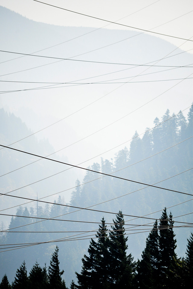
Smoke Sight
How smokey is it in the Pacific Northwest? Very, depending on the day and the place, as windblown smoke from nearly 40 wildfires sweeps across the region. This was last week in the Columbia River […]
Bend, OR
People in Bend, Oregon, are pretty insistent about Bend being sunny, as in more than 300 days a year that are either sunny or mostly sunny. I was there last week and there was only one […]
Cool Oregon
It was hot and dry when I was in Portland in August, but it’s still extremely cool in Oregon. The Pacific currents that sweep down from Alaska make the water along the coast freezing — in […]