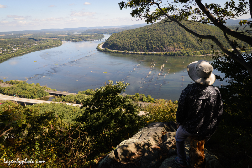
Susquehanna River, central Pennsylvania, early October: Fall takes its time arriving, the leaves take their time turning and the river keeps flowing.

Category Archives: water
Reflections on Water
Parkersburg, WVA, June, 2014 We tend to take clean water for granted, but — in case you missed it — read the NYT story at the link here. It takes place in and around Parkersburg. […]
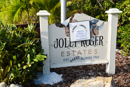
Florida Keys
In the Florida Keys, especially for someone coming from the frozen north, the color is blue: warm blue ocean water running to emerald blue-green, setting off white beaches and a big unobstructed sky that highlights […]
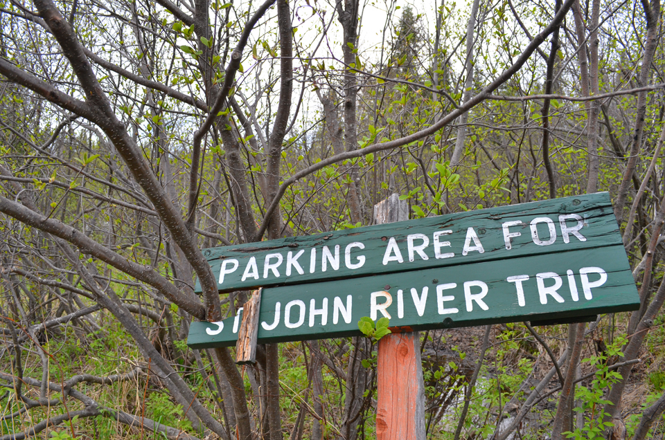
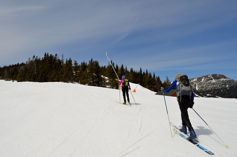
Northern River, Maine’s St. John
The St. John River is just about as far north as you can go in Maine, paralleling the Quebec border where the river begins in the ponds, streams and bogs of the North Woods. It […]
Green Again
Spring always creeps slowly into the winter-brown Vermont hills and then explodes. This, the other foliage season, a riot of green, seems to arrive in the space of three days. And in the space of […]
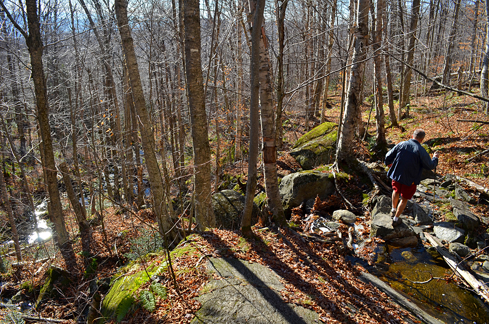
Stick Season, High & Low
When the fall leaves hit the ground, it’s Stick Season. The reason for the name is obvious but the attractions of this sixth Vermont season aren’t. It can mean raw, gray days with rain and sleet. […]

Wildwater on the Deerfield
On a beautiful late summer afternoon, the United States of America Canoe and Kayak 2012 Wildwater Team Trials began today on the Deerfield River in northern Massachusetts. Fastest kayaks down the 2-mile course in men’s and […]
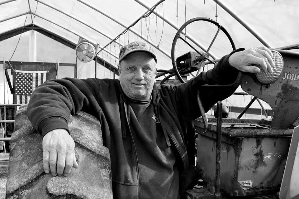
Farm Aid
David Cram and his partner, Anna Coloutti, run the Stone Village Farmers’ Market just north of Chester on Route 103 in southern Vermont. They lost 18 acres of produce when the Williams River flooded from […]
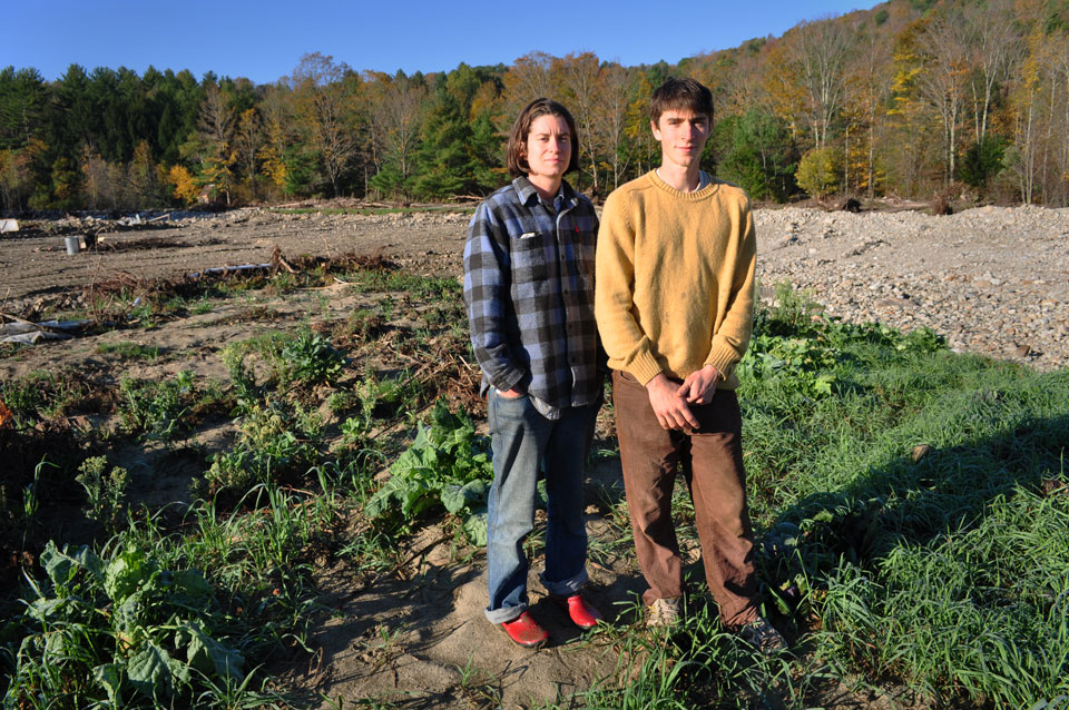
Picking Up the Pieces
When Tropical Storm Irene swept into Vermont in late August, Kara Fitzgerald and Ryan Wood Beauchamp prepared for the effects of high winds on their five-acre field of vegetables. They picked tomatoes and otherwise battened […]
Another Kind of Water
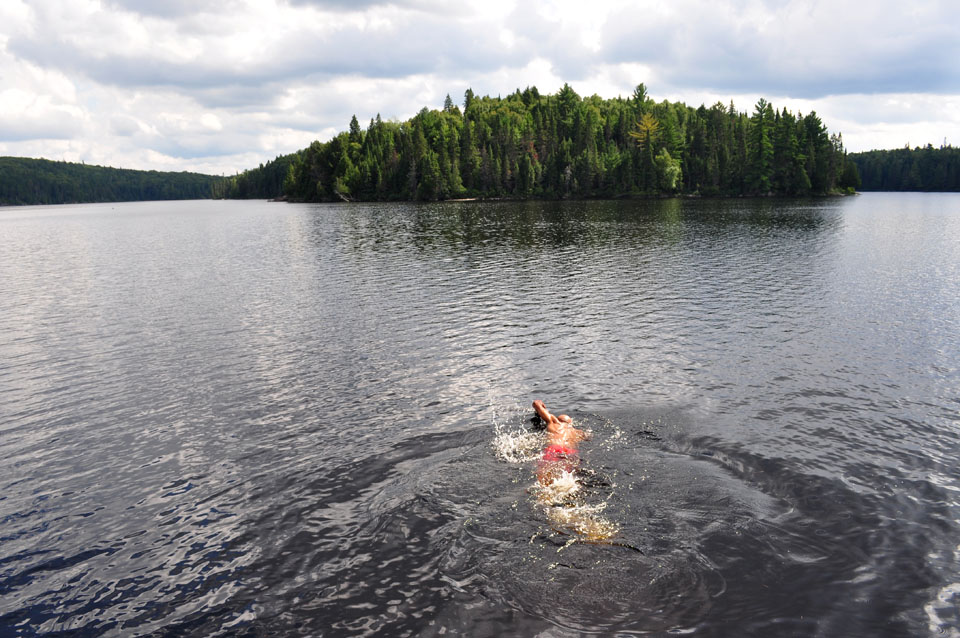
I wasn’t in Vermont when Hurricane Irene hit. While Vermonters were fleeing water, some friends and I were seeking it in Algonquin Park in Ontario. We left several days before Irene arrived in town and […]
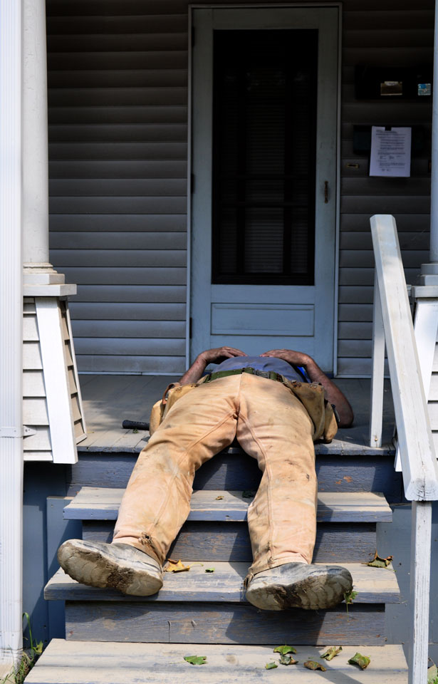
Flat Out
After nearly a week of working to clean up flood damage in Waterbury, VT, a workman took a short break Saturday afternoon. In the flooded areas of Vermont, everybody else probably felt about the same, but […]